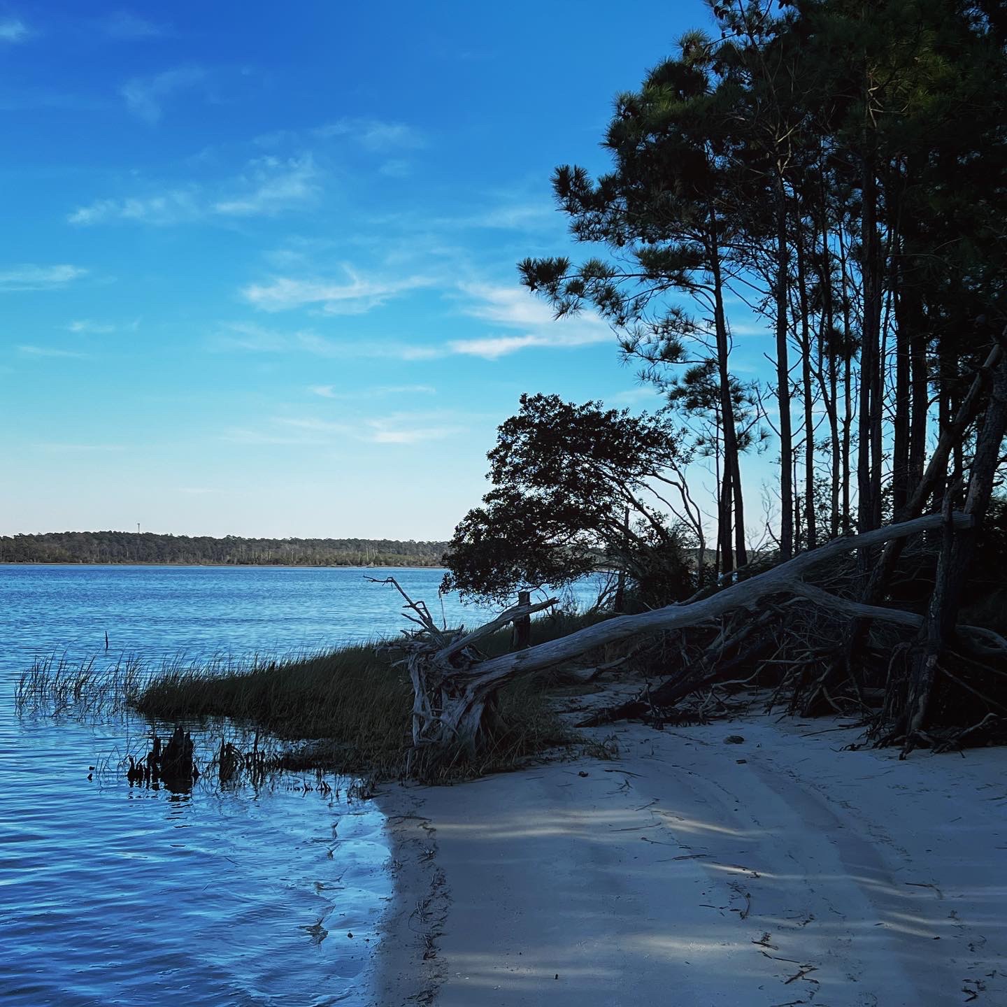
Project Title: Lower New River Watershed Restoration Plan
Project Overview: The Lower New River Watershed Restoration Plan is a critical initiative to assess and address the threats posed to surface water health in the Lower New River system. This project is proudly funded by the North Carolina Land and Water Fund and is led by Coastal Carolina Riverwatch (CCRW). The goal of this project is to enhance the resilience of the lower New River ecosystem against pollution from various sources, including development, storms, and industrial activities.
Project Objectives:
- Assess and mitigate the impact of development, storms, and industrial activities on the lower New River ecosystem.
- Improve water quality to support commercial and recreational fishing, tourism, and the overall functionality of the ecosystem.
- Address issues such as shellfish closures, chemical contamination from military operations, and limited access to water quality data.
- Set goals for human and ecological health and develop pollution prevention measures.
- Collaborate with research partners and universities to gather essential data and insights.
- Establish a Harmful Algae Bloom Response Network.
- Disseminate the completed Lower New River Watershed Assessment to relevant authorities.
- Develop industry training programs related to stormwater, wastewater, chemical contaminants, and agriculture.
Project Schedule:
- Year 1: Planning, research, assessment, writing, and outreach, with a focus on gathering water quality data, assessing findings, and engaging with local communities.
- Year 2: Continuation of research, assessment, writing, and outreach, with an increased focus on writing the restoration plan.
- Year 3: Completion of assessments, finalizing the restoration plan, and intensive outreach for dissemination and preparation for implementation.
Project Area: The project covers a significant area, spanning 190 square miles in the New River in the White Oak River Basin. This area includes wetlands, creeks, and the Intracoastal Waterway, with about 80% of the land owned by the Department of Defense, specifically the Marine Corps Base Camp Lejeune.
Expected Results:
- Identification and prioritization of community restoration goals.
- Analysis of biological and chemical factors affecting fishability, swimability, and drinkability of water.
- Identification of gaps in service based on known data and regulations.
- Assessment of residential and industrial development’s impact on pollution sources.
- Development of pollution reduction methods and educational resources for residents.
- Prioritization of Best Management Practices (BMPs) based on community input and identified gaps.
- Establishment of a general timeline and evaluation process for future work.
- Writing of the Lower New River Watershed Restoration Plan based on the EPA’s Nine Element Plan.
- Dissemination and encouragement of the plan’s use.
- Restoration of the New River, adjacent wetlands, tributary streams, and downriver sounds.
- Protection of recreational and commercial use of the waters.
- Conservation of fish Primary Nursery Areas and Outstanding Resource Waters.
- Protection of Environmental Justice communities in the floodplain.
- Protection of the Marine Base and its operations.
- Restoration of ecosystem services to buffer against storm damage.
- Protection of downstream Coastal Reserves.
- Buffering military installations for Marine Base Camp Lejeune.
Nine Element Plan Focus: The project will primarily focus on the first four elements of the EPA’s Nine Element Plan, which include problem identification, goals for waters, load analysis, and schedule for implementing practices.
Community Partnerships: Coastal Carolina Riverwatch has already established partnerships with key stakeholders, including the community of Sneads Ferry, Military base Camp Lejeune, and Onslow County. These partnerships are crucial for the success of the project.
Stakeholder Engagement: The project will identify key stakeholders through community working groups and connections with residents who have been involved in our water quality initiatives. We will also address concerns raised by the public and set preliminary goals through public forums and government standards.
Data Collection and Analysis: The project will gather existing data from university researchers and publicly available data. Any data gaps will be identified and addressed through further research and analysis, including the assessment of land use and collaboration with universities.
Implementation and Monitoring: The project will focus on setting goals, determining load reductions, designing BMPs, and developing an implementation program that will be accessible to governments, communities, and organizations. Monitoring progress and making revisions will be integral to the plan’s success.
Conclusion: The Lower New River Watershed Restoration Plan, funded by the North Carolina Land and Water Fund, is a comprehensive effort to restore and protect the lower New River ecosystem. By engaging with communities, collaborating with research partners, and disseminating the plan’s findings, we aim to safeguard the region’s water quality, support local economies, and preserve its unique ecosystem. This project embodies our commitment to environmental stewardship and ensuring a sustainable future for the New River and the surrounding communities.
We want your help in this planning process. Join our planning team by emailing Waterkeeper@coastalcarolinariverwatch.org.
