Coastal Carolina Riverwatch provides service to the four rivers that make up the White Oak River Basin (WORB):
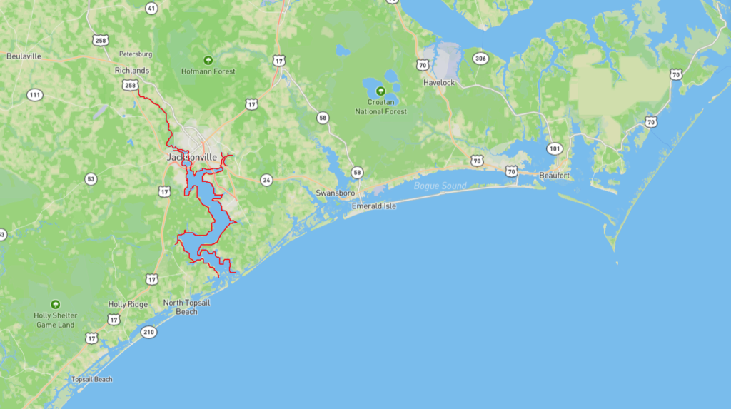
New River
The New River is 50 miles long and is the largest, most populated river in the WORB. This river begins and ends in Onslow County. Surrounding communities include Sneads Ferry, Camp Lejeune, Morgan Bay, and Jacksonville. This river has 223 stream miles, 22,810 estuarine acres, and 15 miles of Atlantic coastline. The river’s various habitats consist of hardwood swamps, saltwater marshes, and pine forests. It rises in northwestern Onslow County and widens into a tidal estuary about 2 miles wide once it passes Jacksonville. The New River opens to the Atlantic ocean in Onslow Bay by the New River Inlet between two barrier islands.
The New River was closed to the public in the 1980s due to its water conditions. In 1995, 25 million gallons of waste seeped into the river from a hog lagoon. Rehabilitation soon followed. In recent years, the river has had trouble with solid waste pollution via development, storms, and industrial activities.
The NC Department of Environmental Quality prioritizes the decrease of agricultural inputs, increase of shellfish habitats, fish nursery habitats, and developing best management practices for estuarine water quality. The river is occasionally dredged for commercial fishermen causing the southern island of the New River Inlet to slowly disappear due to the changing of the tides. The New River has one artificial reef located near Town Creek and Farnell Bay which takes up around 30 acres of space. AR-398 is made up of concrete scraps originating from the old Buddy Phillips Bridge near Jacksonville. This reef is a great fishing spot and attracts a number of trout.
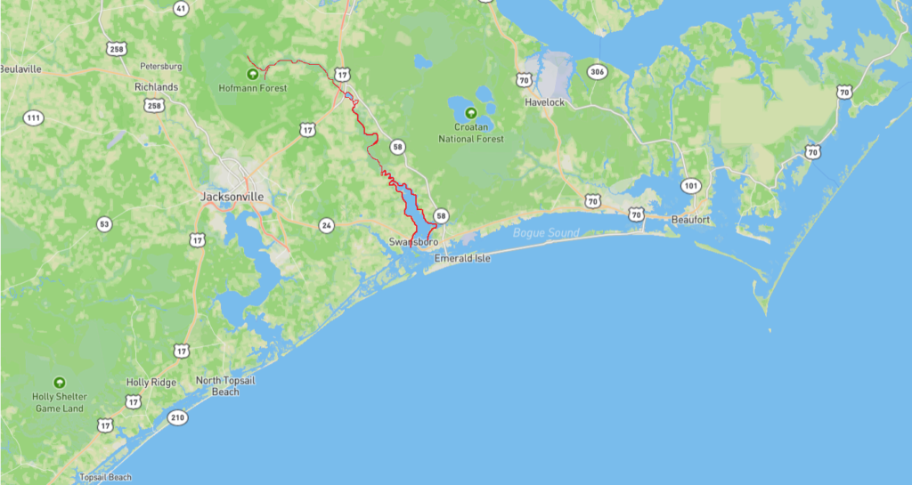
White Oak River
The White Oak River is a 48 mile long blackwater river. The river rises in the White Oak Pocosin in northern Onslow County and southern Jones County about 15 miles north of Jacksonville. This river forms the western boundary of the Croatan National Forest, also known as the only coastal forest nationwide. The lower 10 miles of the river is a tidal estuary. The White Oak River enters the Atlantic at Bogue Sound and then passes two barrier islands, known as Bogue Banks and Bear Island, through Bogue Inlet into the open Atlantic at Onslow Bay. The river has 132 stream miles and drains approximately 12,000 acres of estuaries.
Ecotypes in this environment include saltwater marshes, hardwood swamps, and pine forests. This river is a haven for rare species including carnivorous plants and the red cockaded woodpecker. The lower river is the primary nursery spot for shrimp, Atlantic croaker, southern flounder, weakfish, and blue crab.
Presence of PFAs, per-and polyfluoroalkyl substances also known as forever chemicals, continue to threaten the surface water health. This river also has had issues with levels of fecal coliform bacteria due to runoff from constructed surfaces. A few of the creeks flowing into the river are named after a group of 1728 settlers in which a few of their descendants are still located along the properties of the White Oak River. This river had two artificial reefs constructed near the Bogue Sound in 2018 to help with foraging opportunities.
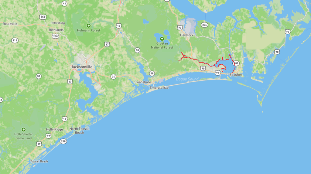
Newport River
The Newport River begins in Craven County, flows 12 miles through Newport and enters the Atlantic near Morehead City. It is one of the smaller coastal rivers in NC having 85 stream miles, 33,211 estuarine acres, watershed of 120 sq. miles and 25 miles of Atlantic coastline.
The river runs through ecosystems such as a saltwater marsh, pine forest, and a hardwood swamp. Popular angler species include puppy drum, speckled and gray trout, and bass. The Newport River is known to be a popular site for flatwater paddling and canoeing. Parts of the river are labeled as Primary Nursery Areas (PNAs) and this river is a valuable oyster-growing estuary. In 2022, PFAS were detected but the levels were lower compared to surrounding areas. CCRW and Duke are researching exposure pathways for people who consume oysters.
North River
The North River is approximately 18 miles long, mostly rural, with 4 stream miles, and 49,077 estuarine acres. It is based in Carteret County and enters the Atlantic at the Bogue and Back Sound. The NC Mountains- to- Sea Trail runs through the North River’s 6,000 acre Wetland Preserve. This river has quite a few other attractions in the surrounding areas such as Cape Lookout, Harkers Island, and the Rachel Carson Preserve. CCRW has a North River Community Resiliency Project that focuses on building the resilience of the area against environmental challenges like flooding.